I found some more Flash space…

For the past two weeks or so Rob & I have been developing the UAV software on the AVR, finally. As I’ve noted in a few previous entries. And it’s been just one giant bug-hunt, for the most part, but we’re making progress. Bluetooth works. We have my very own printf substitute that’s quite tiny…… Read more

Progress, yeeeesss, we’re making progress!

I spent the first part of today (and some of yesterday) implementing point dragging and addition in our flight planning software. As it stands it’s working quite well… it remains to be added the ability to change the altitude of points, and delete them, but things are well underway. After that, I just need to… Read more

Points for trying?

Last Thursday I was working on the project, trying to get the Bluetooth serial link working. I was having a lot of trouble… it just didn’t make sense; I could get something transmitted, albeit garbage, only if I choose a baud rate much lower than it should have been. Then of course later – after… Read more

Lat/long to image in 4 easy steps

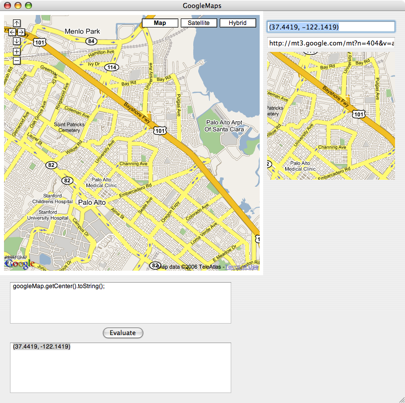
So, I finally had some time this week to get back onto Google Maps, and it’s been pretty good thus far. I started by trying to figure out how to pull images out of WebKit’s spiderweb. Sadly the WebResourceLoadDelegate never actually provides you with the response data, so you have to go querying the WebDataSource… Read more

Who’da thunkit?

Well, I never thought it would happen, but it turns out one of those annoying chores of uni work actually paid off, in a non-too-trivial way. For project we’re expected to keep, and are marked on, a log book. Now, I’m all for taking notes of things; everything within reach of my desk has crap… Read more

We don’t need no stinkin’ C99

So, last Sunday was La Trobe’s Open Day. Rob & I volunteered (or were possibly conscripted… hard to tell) to present our project on the day. I figured it’d just be a good way to earn brownie points while doing work I should be doing anyway. :D As it turns out, because we were up… Read more

Hacking Google Maps

A word of warning: this is a particularly aloof entry, because it’s for my own interest more than anything else. Sorry if it makes no sense to anyone else. :) I’ve spent quite a bit of time trying to find some software to do flight mapping for the UAV, so I can avoid writing it… Read more